Kanata neighbourhoods
Explore Kanata Lakes, Beaverbrook, Katimavik-Hazeldean, Glen Cairn, Bridlewood and Morgan’s Grant. Approximate community boundaries are explained on each page.
The Kanata area has 6 neighbourhoods: Kanata Lakes, Beaverbrook, Katimavik-Hazeldean, Glen Cairn, Bridlewood and Morgan’s Grant.
Updated · Facts on this page link to their sources
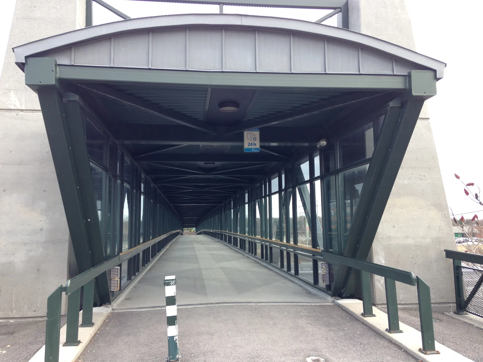
Kanata pedestrian and cycle bridge. Photo: Ross Dunn, CC BY-SA 2.0, via Wikimedia Commons 01Kanata Lakes
Kanata Avenue, Beaver Pond and the communities around the golf course.
Approximate guide boundary north of Highway 417, west of Beaverbrook and east of Terry Fox Drive, taking in the communities described by KLCA. It follows the Kanata Lakes convention rather than the broader ONS profile; Marchwood-Lakeside is not a separate hub neighbourhood.
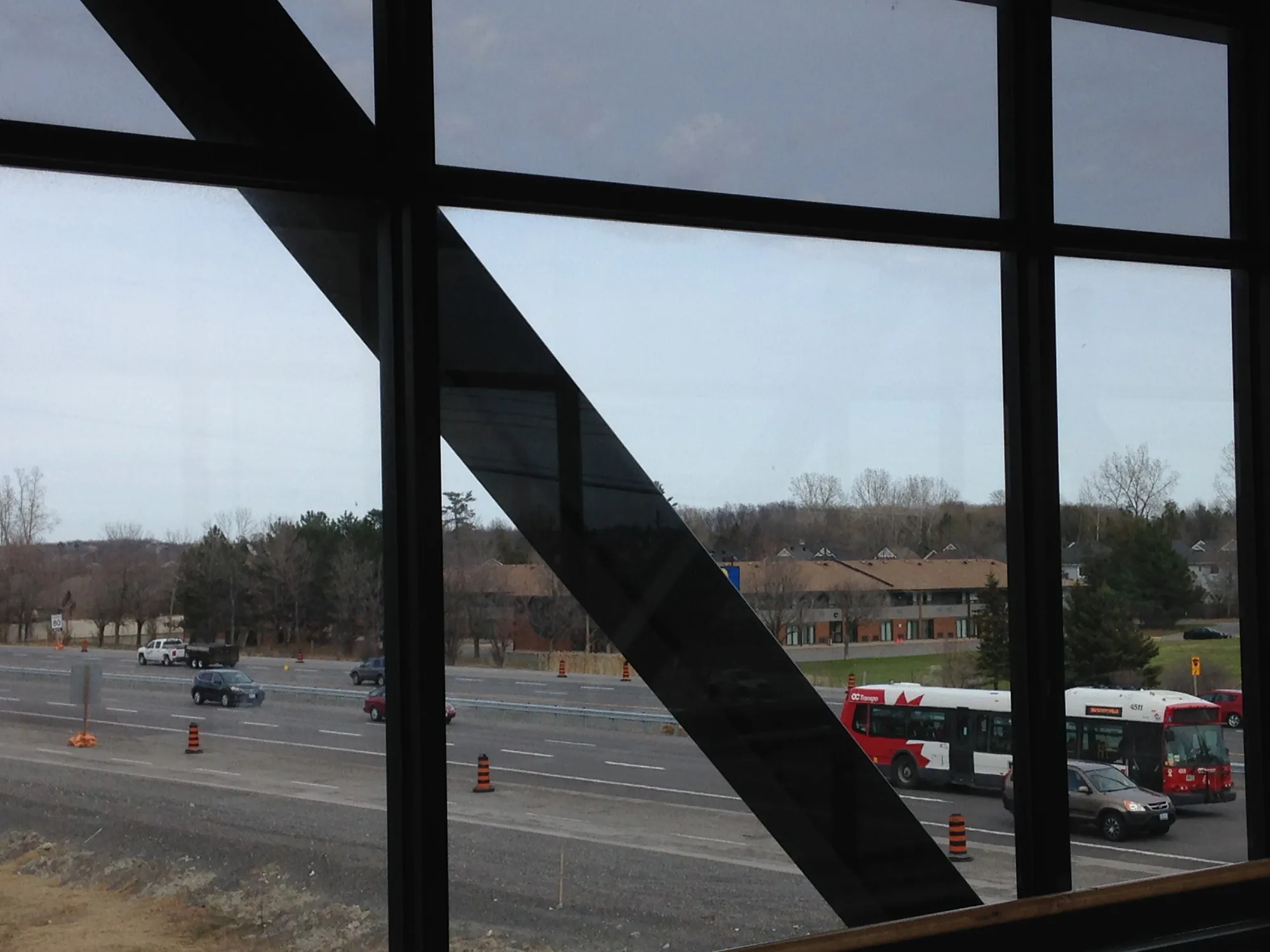
View from the Kanata footbridge. Photo: Ross Dunn, CC BY-SA 2.0, via Wikimedia Commons 02Beaverbrook
Kanata’s early planned community, with schools, paths and the Beaverbrook library.
Approximate boundary between Campeau Drive, March Road, the Kanata North Business Park and Knudson Avenue/Weslock Way. Simplified linework follows the published neighbourhood description; it is not a heritage-district boundary.
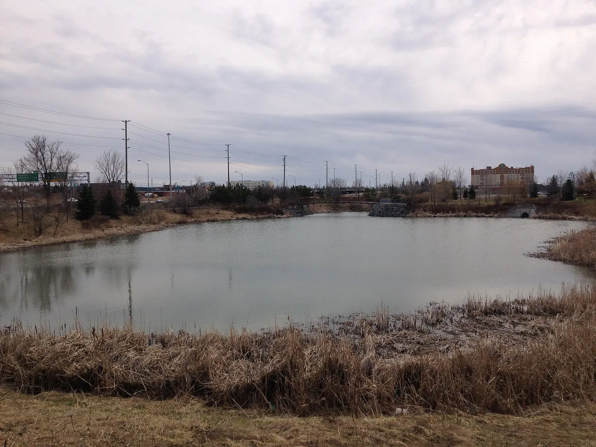
Pond in Kanata. Photo: Ross Dunn, CC BY-SA 2.0, via Wikimedia Commons 03Katimavik-Hazeldean
South of the Queensway, between Eagleson Road and the Carp River.
Approximate boundary following KHCA’s constitution: Highway 417, Eagleson Road, Hazeldean Road and the Carp River. This association area is wider than descriptions that use Katimavik Road or Terry Fox Drive as an edge.
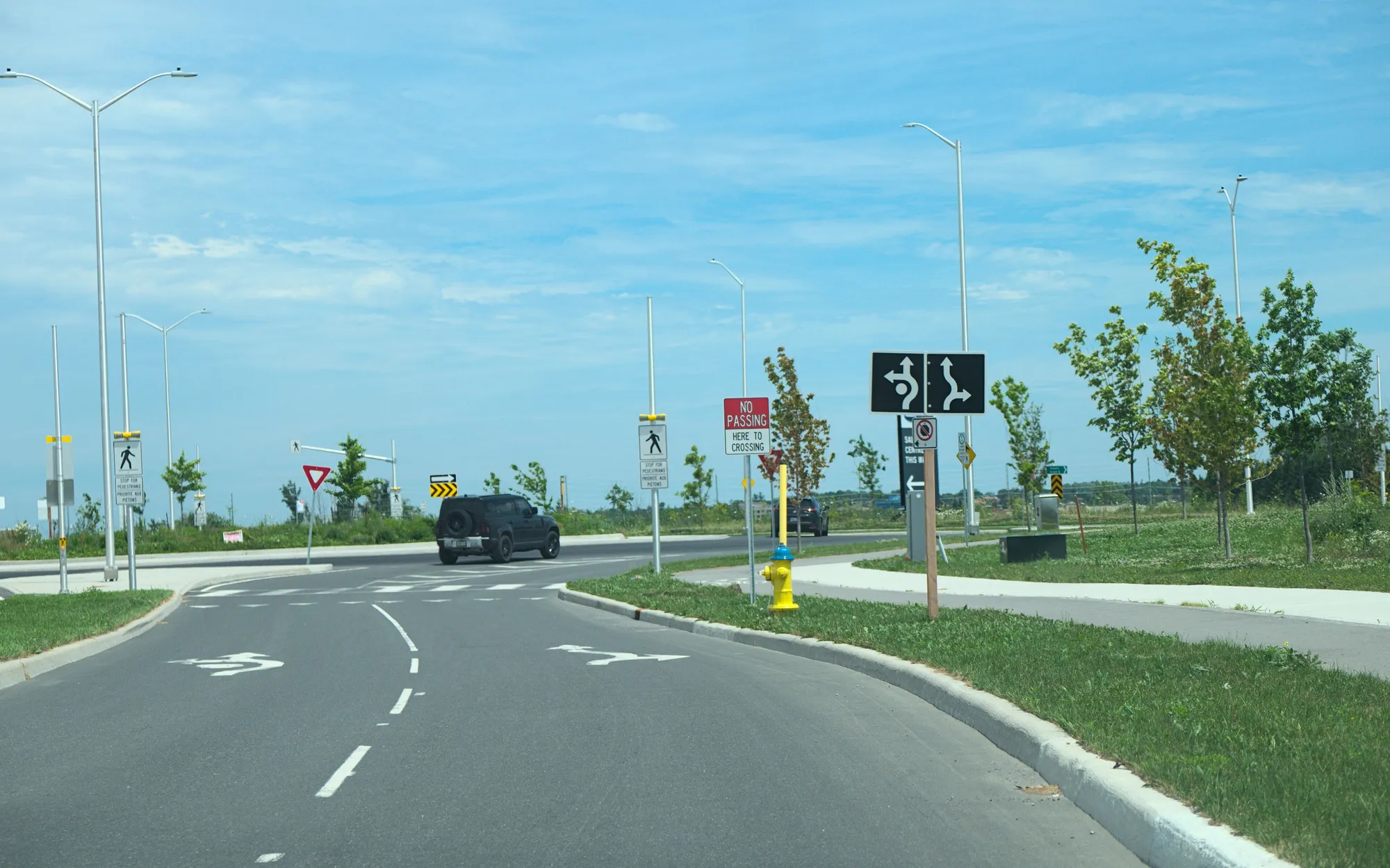
Protected roundabout in Kanata. Photo: Lynxano, CC BY 4.0, via Wikimedia Commons 04Glen Cairn
An established Kanata South community between Hazeldean Road and the trail.
Approximate residential-core boundary: Hazeldean Road to the north, Eagleson Road to the east, Terry Fox Drive to the west and the Trans Canada Trail to the south. ONS’s Glen Cairn area also includes Trailwest and the Kanata South Business Park and is larger than this polygon.
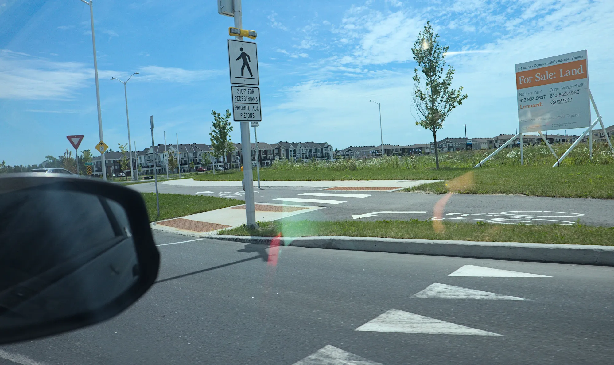
Protected roundabout in Kanata, second view. Photo: Lynxano, CC BY 4.0, via Wikimedia Commons 05Bridlewood
East of Eagleson Road, along the Greenbelt side of Kanata South.
Approximate broad Bridlewood community-association boundary: east of Eagleson Road, north of Hope Side Road, and south and west of the Greenbelt/Old Richmond Road edge. It includes the Emerald Meadows and Monahan Landing side of the community; this is not a school catchment.
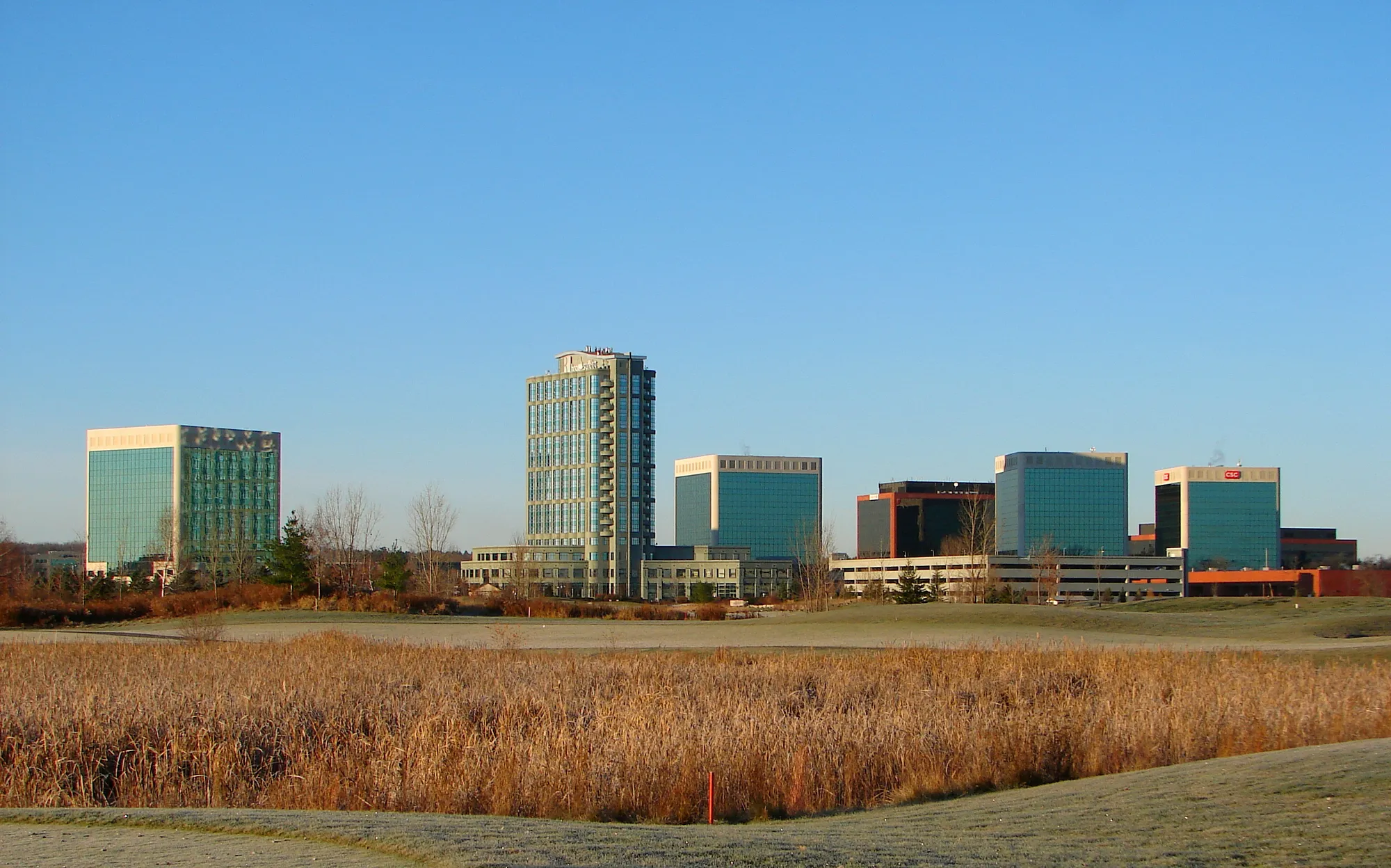
Kanata Research Park skyline, 2011. Photo: P199, CC BY-SA 3.0, via Wikimedia Commons 06Morgan’s Grant
North of the technology business park, west of March Road.
Approximate Morgan’s Grant guide area west of March Road and north of Terry Fox Drive, extending toward Old Second Line Road and Old Carp Road. The shared community association and ONS profile also cover Brookside and Briarbrook; the latter lies east of March Road and is not included in this polygon.
Quick answers
Short answers first; each links to the full answer and its sources.
Is Kanata a good place to live?
Kanata combines established residential communities, a technology employment area, schools and public recreation facilities in Ottawa’s west end. Whether it suits you depends on the address, your school requirements and the journeys you make; compare the six community guides and check an actual trip before deciding.
As of 2026-10-30 · en.wikipedia.org klca.ca
Which Kanata neighbourhood is right for me?
Beaverbrook offers an early planned-community setting, Kanata Lakes includes communities around the golf course and Beaver Pond, and Morgan’s Grant lies north of the technology business park. South of Highway 417, compare Katimavik-Hazeldean, Glen Cairn and Bridlewood by school eligibility, nearby services and your own travel needs.
As of 2026-10-30 · en.wikipedia.org klca.ca
What is Kanata Lakes like?
Kanata Lakes includes Heritage Hills, Kanata Estates, Richardson Ridge and the Beaverpond area in the community association’s description. Kanata Avenue connects these communities to the shopping area near Highway 417. Marchwood-Lakeside is another name used for Kanata Lakes.
As of 2026-10-30 · klca.ca ons-sqo.ca
What is Beaverbrook like?
Beaverbrook is Kanata’s earliest residential neighbourhood. Its planned layout combined housing, paths, green space and community facilities. Earl of March Secondary School and the Beaverbrook library are local anchors.
As of 2026-10-30 · en.wikipedia.org ons-sqo.ca
What is Katimavik-Hazeldean like?
Katimavik-Hazeldean occupies the area south of Highway 417 and north of Hazeldean Road under the community association’s definition. Schools and recreation facilities sit among residential streets, with commercial services on the surrounding roads.
As of 2026-10-30 · khca.on.ca ons-sqo.ca
What is Glen Cairn like?
Glen Cairn is one of Kanata’s original residential communities. A. Y. Jackson Secondary School, John Young Elementary School and the Hazeldean library are among its local institutions. The Trans Canada Trail marks the southern edge used in this guide.
As of 2026-10-30 · en.wikipedia.org ons-sqo.ca